I’m looking for…

Serving Californians
Next Generation 9-1-1
Building a modern 9-1-1 system for all Californians
Apply for Grants
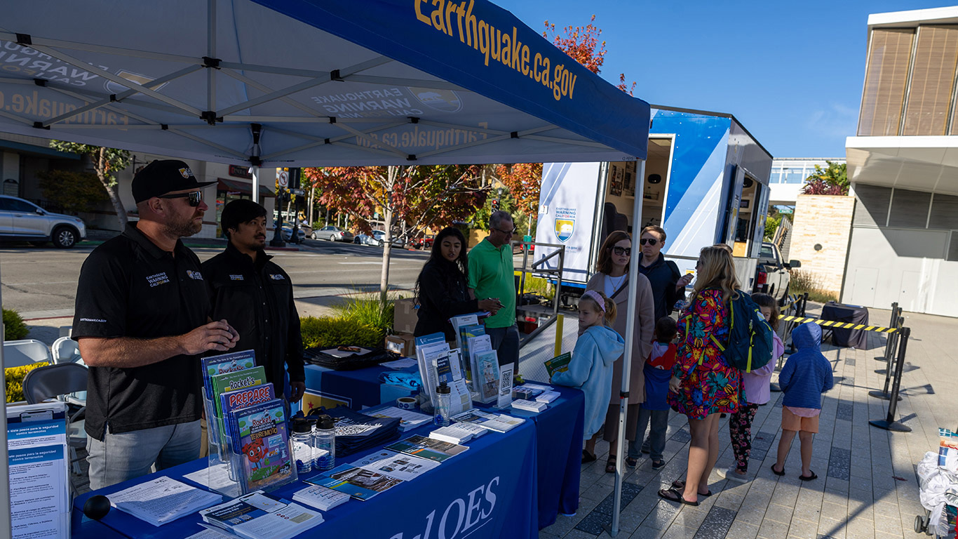
Grants and funding opportunities
COVID-19 Response
Find testing sites, get vaccinated
Cybersecurity Initiatives
Securing online resources and infrastructure
Listos California
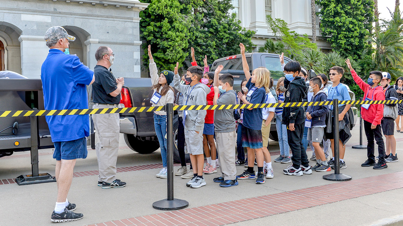
Get Ready. Stay Safe.
Find Your Hazards
Learn about risks where you live
Our Work by the Numbers
1,705
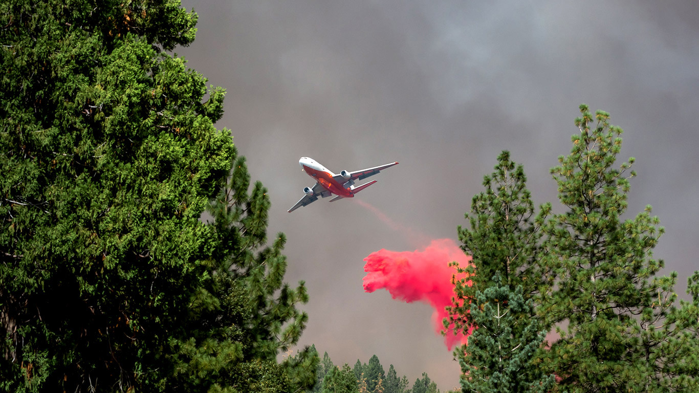
FIRIS Missions Flown
11
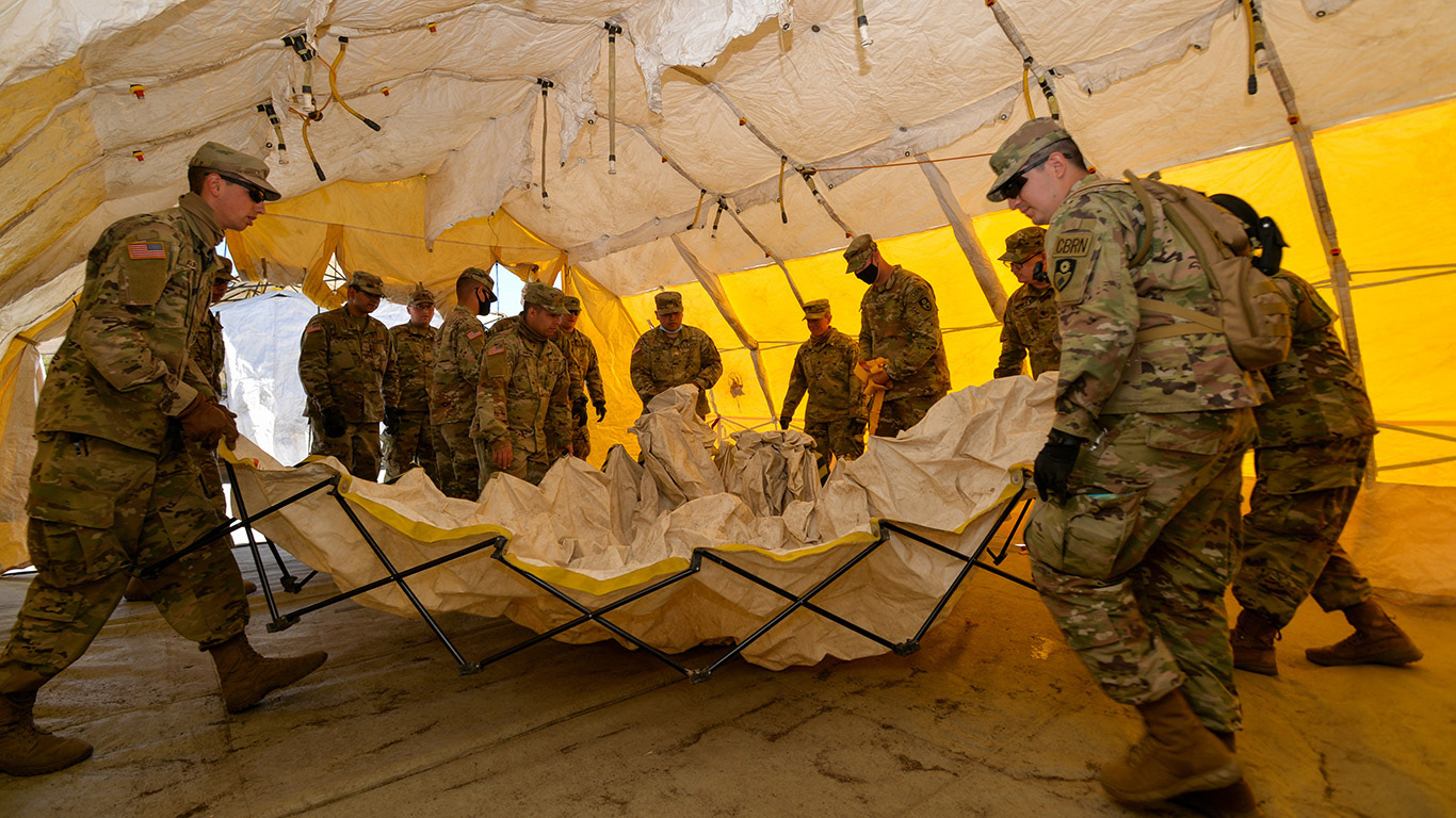
Open Federal Disasters
27,917
Fire Responders Trained
2.1 Billion
Grant Dollars Administered
I want to…
News

Get emergency alerts
Wireless Emergency Alerts is a nation-wide system providing lifesaving information for the State of California