Catastrophic Planning
The widespread impact of a catastrophic incident makes it one of the most important topics in emergency management today. A catastrophic incident may be a single incident or a series of incidents and is defined as a natural or manmade event, including terrorism, that results in extraordinary levels of casualties, damage, or disruption severely affecting the population, infrastructure, environment, economy, and government functions.
A catastrophic incident in California would likely:
• Result in thousands of casualties with many requiring immediate lifesaving support from outside the affected area.
• Displace tens of thousands of people and isolate large areas from normal supply channels.
• Almost immediately overwhelm response and recovery resources normally available to local, state, tribal, and private-sector governments or entities, and require extended strategies and outside capabilities.
• Cause massive disruption of critical infrastructure such as energy, transportation, telecommunications, medical response, and health care systems.
• Significantly interrupt governmental operations and emergency services to such an extent that state or national security could be threatened.
• Result in long-term economic impacts to the incident area, California, and Nation.
These factors drive the need for coordinated disaster planning that includes potential federal assistance. Following a catastrophic incident in California, a joint state and federal organization will provide lifesaving, life-sustaining, and other resources necessary to alleviate the consequences of the incident and encourage the recovery of the affected areas.
Fact Sheets that provide an overview of each catastrophic incident plan are available for download below without a password (non-For Official Use Only).
Catastrophic Incident Base Plan
The Catastrophic Incident Base Plan establishes the concept of operations for how state and federal officials will coordinate for all types of catastrophic disasters (pdf download).
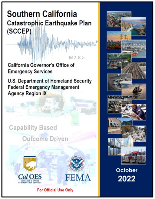
Southern California Catastrophic Earthquake Plan, 2022
The Southern California Catastrophic Earthquake Plan (SCCEP) provides a coordinated state/federal response to a catastrophic earthquake in Southern California.
Counties impacted include: Imperial, Inyo, Kern, Los Angeles, Orange, Riverside, San Bernardino, San Diego, San Luis Obispo, Santa Barbara, Tulare, and Ventura.
Fact Sheet: Southern California Catastrophic Earthquake Plan
Southern California Catastrophic Earthquake Plan, 2022 (FOUO Version) This is a password protected document.
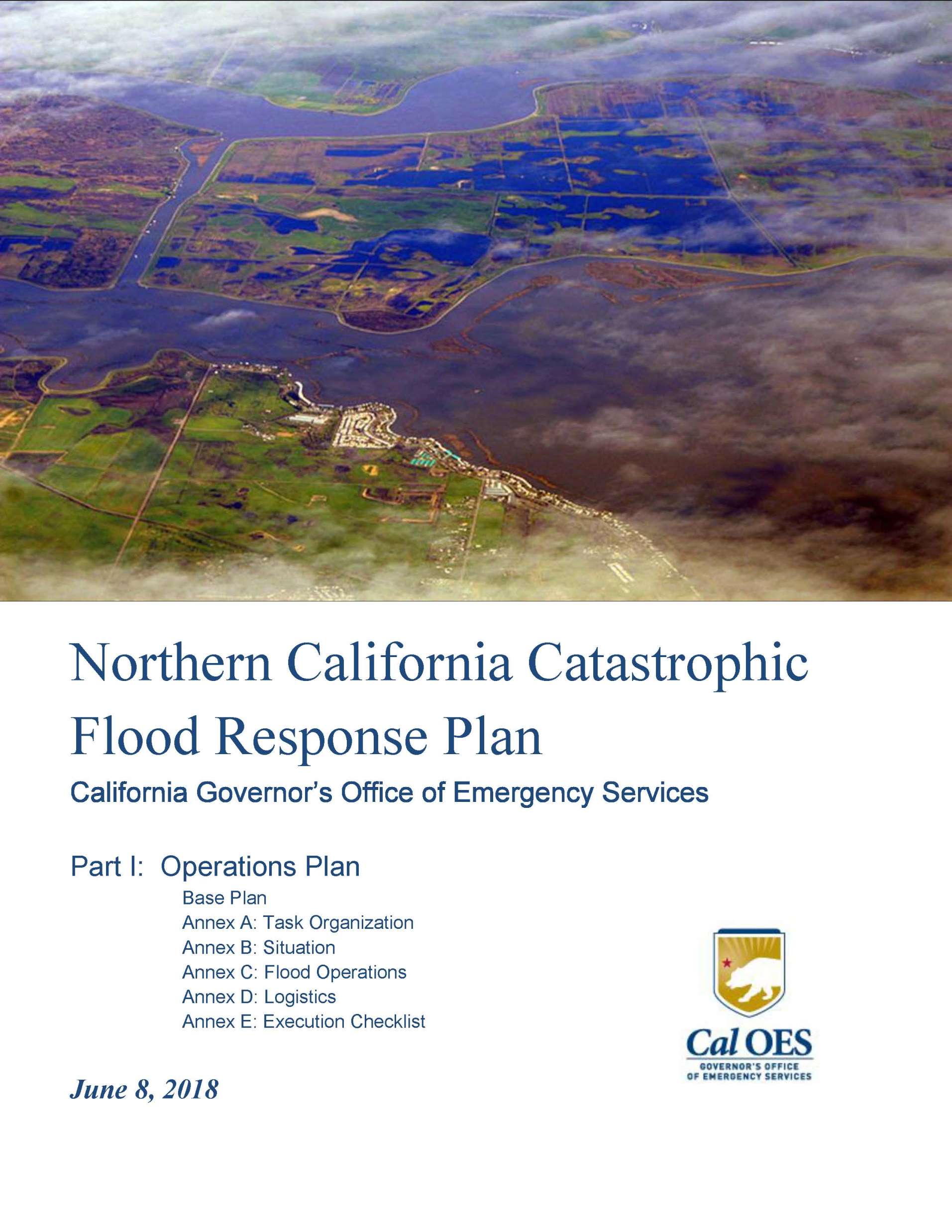
Northern California Catastrophic Flood Response Plan (NCCFRP)
The Northern California Catastrophic Flood Response Plan (NCCFRP) is the fourth catastrophic plan for California. The NCCFRP provides a framework outlining how local, state, and federal governments will respond and coordinate in anticipation of and following a catastrophic flood event, with emphasis on impacts to the Sacramento-San Joaquin Delta.
Fact Sheet: Northern California Catastrophic Flood Response Plan
This FOUO version of the plan is password protected.
Part I -Base Plan (FOUO Version)
Part II – Operational Annexes (FOUO Version)
Part III – Geographic Operations – Operational Area Profiles (FOUO Version)
Part III – Geographic Operations – Branch Profiles (FOUO Version)
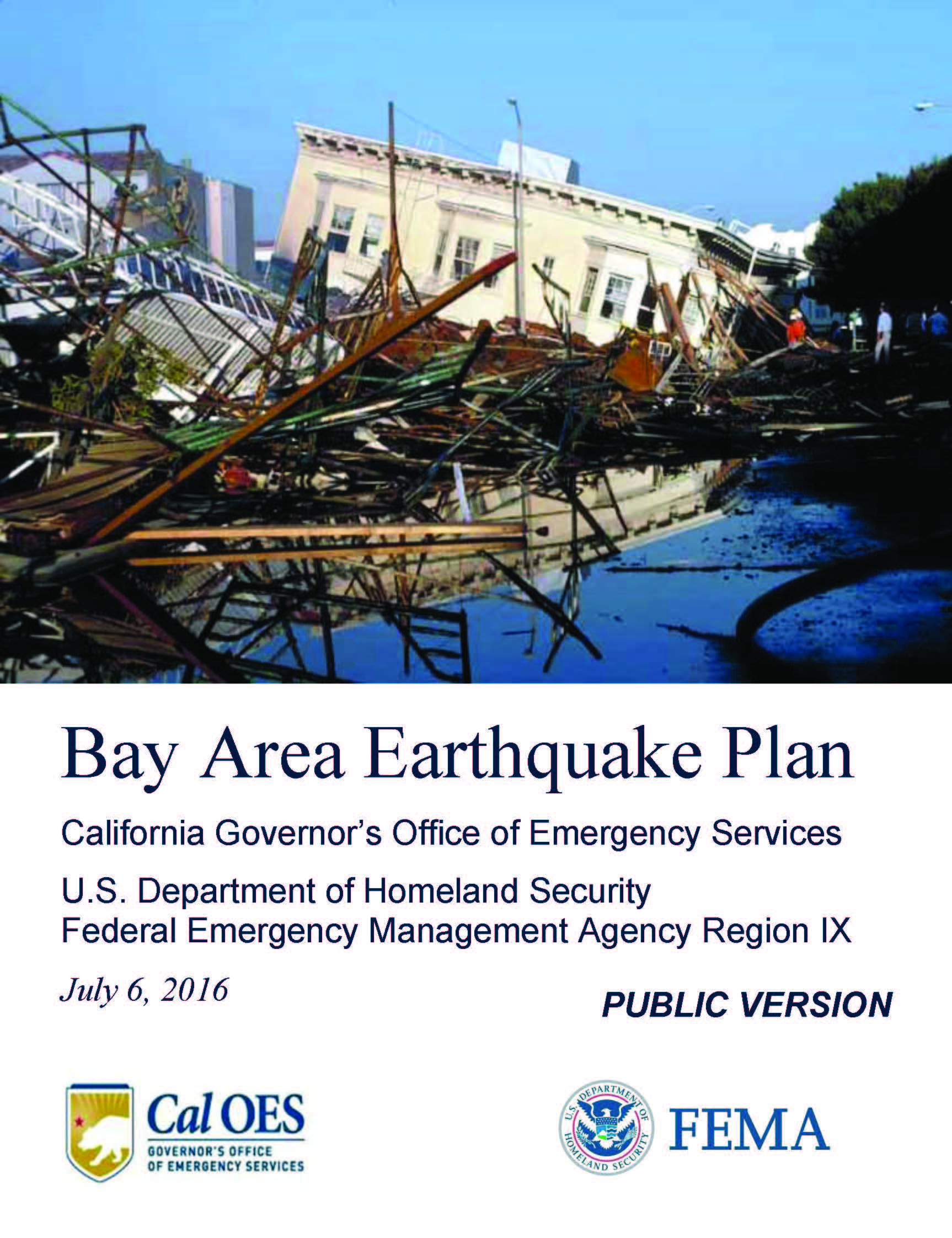
Bay Area Earthquake Plan
Developed by the U.S. Department of Homeland Security (DHS)/Federal Emergency Management Agency (FEMA) Region IX and the California Governor’s Office of Emergency Services (OES) to describe the joint State and Federal response to a catastrophic earthquake in the Bay Area.
Counties impacted include: Alameda, Contra Costa, Marin, Mendocino, Monterey, Napa, Sacramento, San Benito, San Francisco, San Joaquin, San Mateo, Santa Clara, Santa Cruz, Solano, Sonoma, and Yolo.
Fact Sheet: Bay Area Earthquake Plan
Public Version: Provides a broad overview of the operations plan (pdf download).
FOUO Version: This is a password protected document.
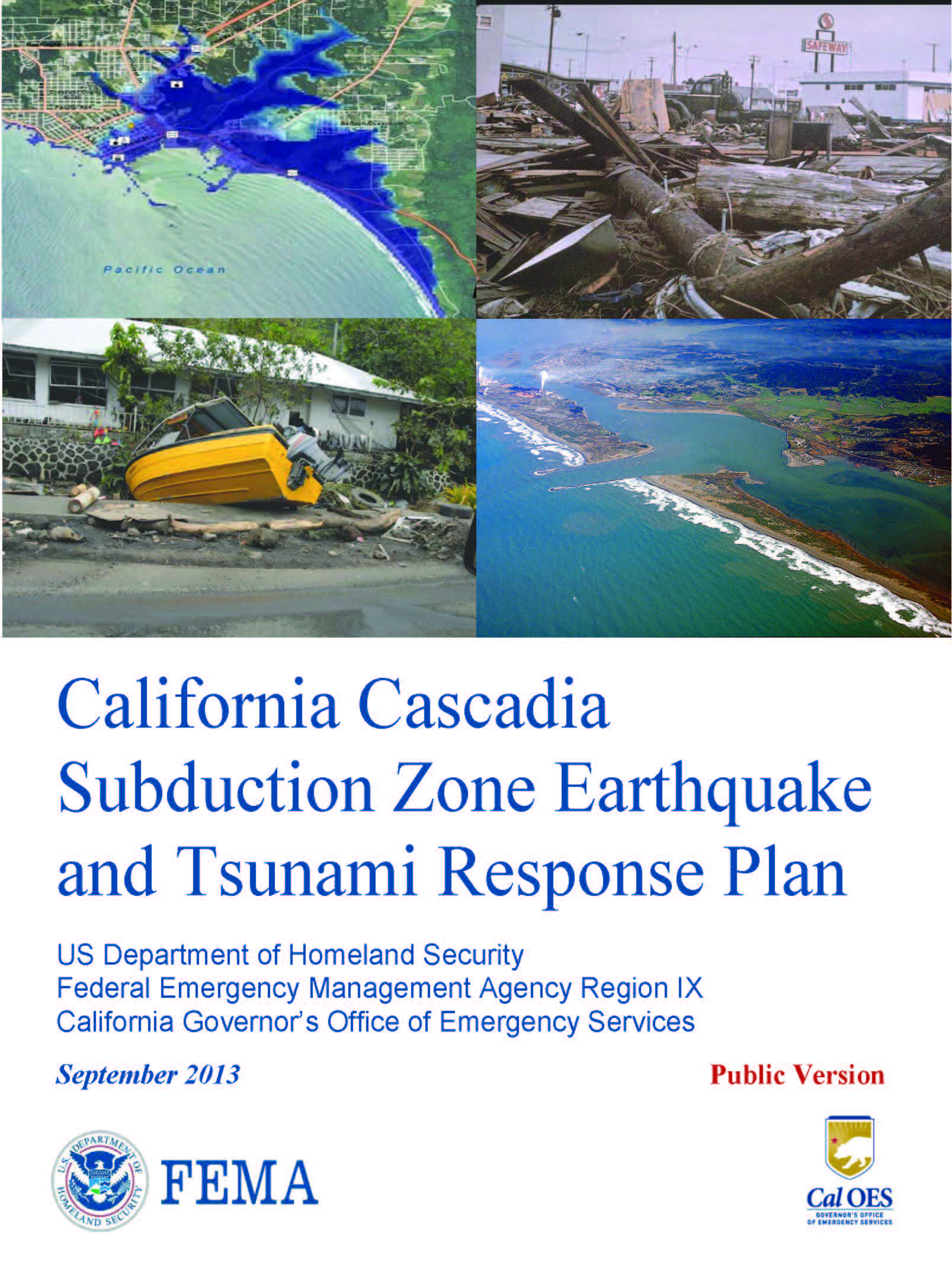
Cascadia Subduction Zone – Earthquake and Tsunami Response Plan
The California Cascadia Subduction Zone Earthquake and Tsunami Response Plan provides a framework outlining how local, tribal, state, and federal governments and private and nongovernmental organizations (NGOs) will respond and coordinate immediately following a catastrophic earthquake along the northern California coast.
Counties impacted include: Del Norte, Humboldt, and Mendocino.
Fact Sheet: Cascadia Subduction Zone Earthquake and Tsunami Response Plan


